")

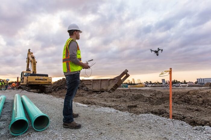
Aerial surveyors at K&B agency uses a range of digital devices and LiDAR systems to deliver large scale orthomosaics and terrain data sets.
With our GIS services, we offer accurate georeferencing / geocoding of your projects at affordable prices. We are capable of various procedures..
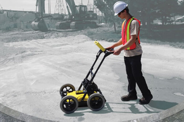
In the congested landscape of today’s increasingly complex utility infrastructure, the technician can be overwhelmed with the multitude
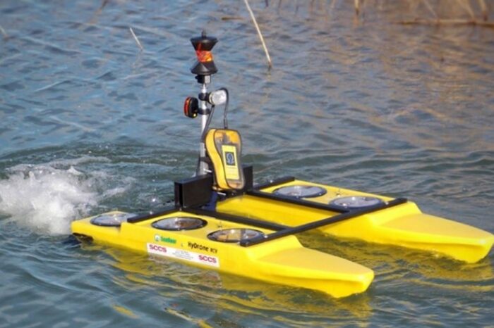
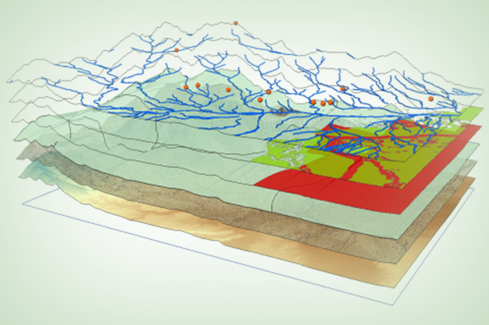
HYDROGRAPHIC SURVEY are made to acquire data required to chart and/or map shorelines and bottom depths of streams, rivers and lakes.
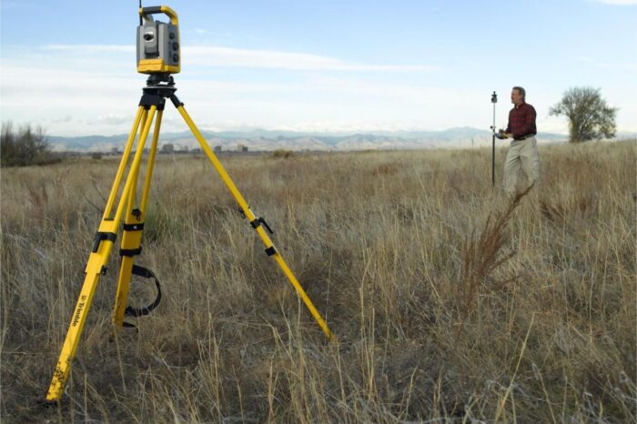
GPS CONTROL SURVEY give” basic control”or vertical and perpendicular positions of points to which supplementary checks are acclimated.
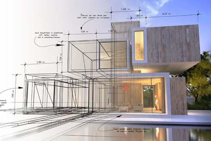
Computer-Aided Drawings are the most effective way to document technical drawings and related information in an organized manner.
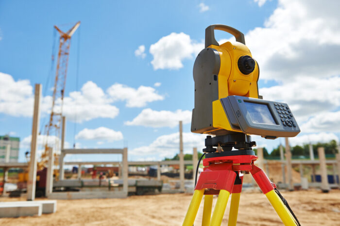
The purpose of a TOPOGRAPHICAL SURVEY is to gather survey data about the natural and man-made features of the land, as well as its elevations

Engineering services relating to building design, construction and maintenance have formed a core activity in our operations for a decade
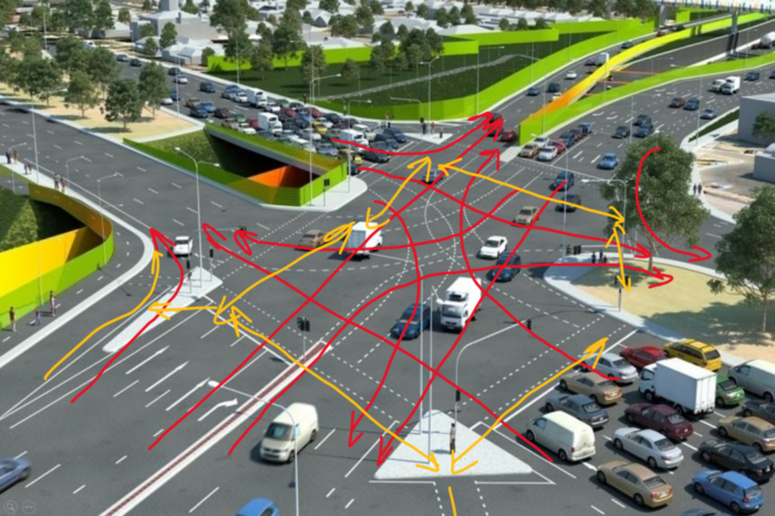
We are highly capability of providing full assistance with intelligent transportation, parking management, security, communications …
HYDROGRAPHIC SURVEY are made to acquire data required to chart and/or map shorelines and bottom depths of streams, rivers and lakes.
Aerial surveyors at K&B agency uses a range of digital devices and LiDAR systems to deliver large scale orthomosaics and terrain data sets.
Computer-Aided Drawings are the most effective way to document technical drawings and related information in an organized manner.
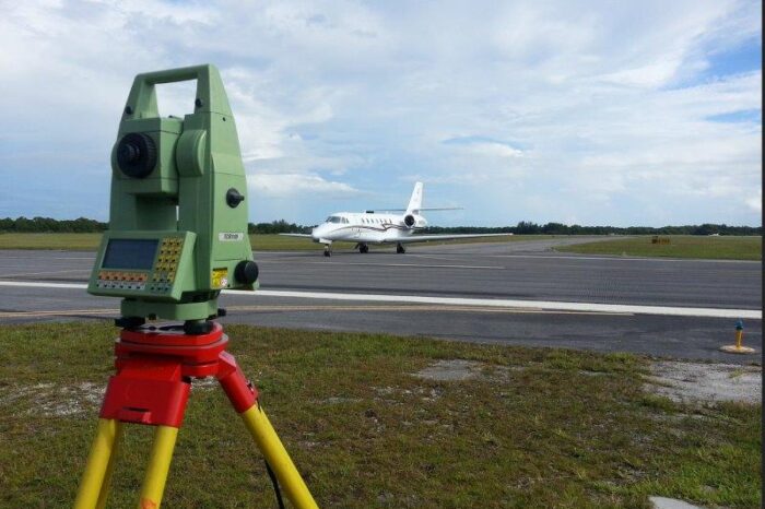
AERONAUTICAL SURVEY is a highly specialized type of surveying. It requires an extensive knowledge of the requirements of the FAA
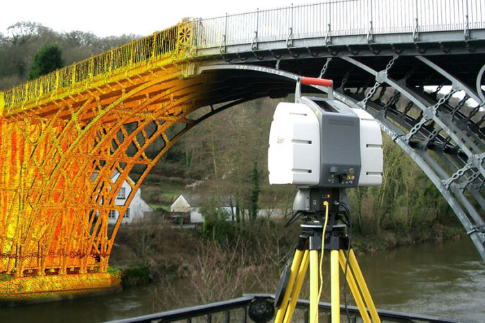
LASER SCANNING is a relatively new technology, having been used as a precise survey instrument only. Now, it is quickly becoming
We are highly capability of providing full assistance with intelligent transportation, parking management, security, communications …
Engineering services relating to building design, construction and maintenance have formed a core activity in our operations for a decade
With our GIS services, we offer accurate georeferencing / geocoding of your projects at affordable prices. We are capable of various procedures..
In the congested landscape of today’s increasingly complex utility infrastructure, the technician can be overwhelmed with the multitude
Trusted by Goverment of Arunachal Pradesh
Our projects are fully tested, background checked, license validated and insured
with a 100% satisfaction guarantee.