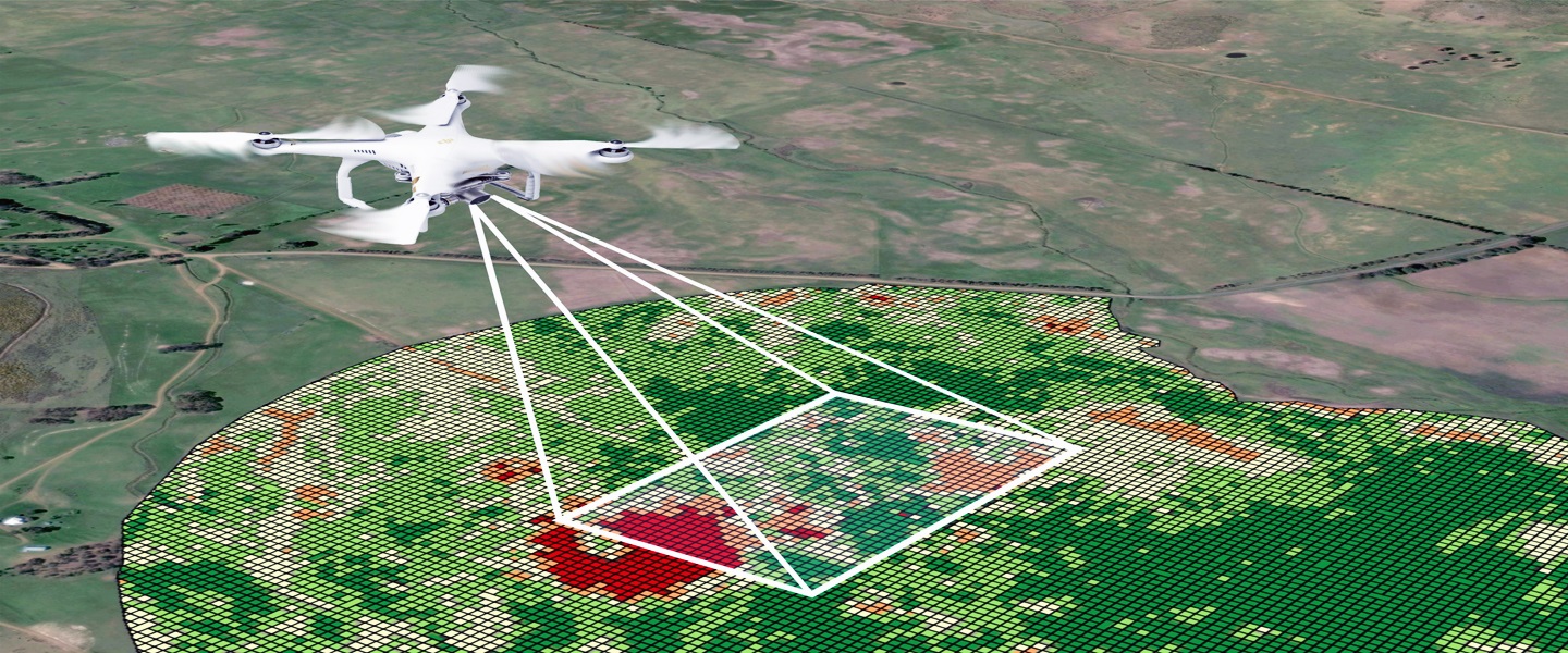
Drone Survey
Drone Survey in India a highly specialized type of surveying. It requires extensive knowledge of the requirements of the Federal Aviation Administration (FAA) Advisory Circulars in order to successfully complete the work to the accuracies required for acceptance by the National Geodetic Survey (NGS) and the FAA. This survey work forms the basis for the FAA Airports GIS initiative and is critical for the development of safe and accurate approach procedures.
Aerial surveys use a range of digital devices and LiDAR systems to deliver large scale orthomosaics and terrain data sets. The aerial surveys provide a base for planners and developers to discuss concepts & projects.
We at K&BC Agency, offer a comprehensive range of aerial mapping technologies supported by leading industry experts to deliver aerial surveying projects of all sizes to clients.
